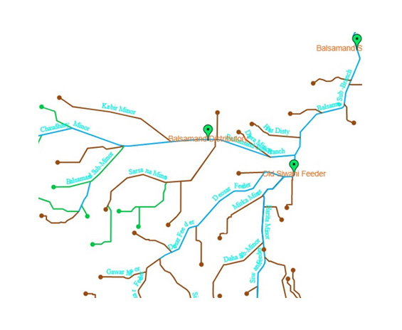
View all assets on GIS at a glance to see the Irrigation Canal Network in Haryana State.
Click here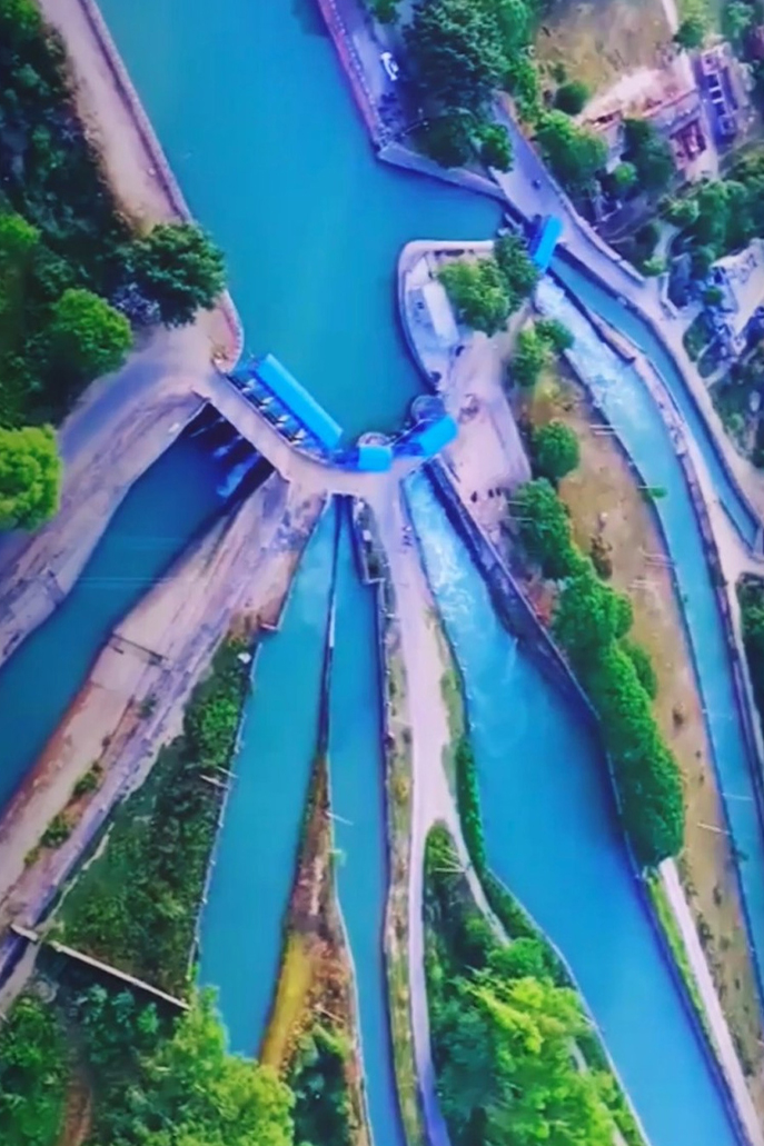
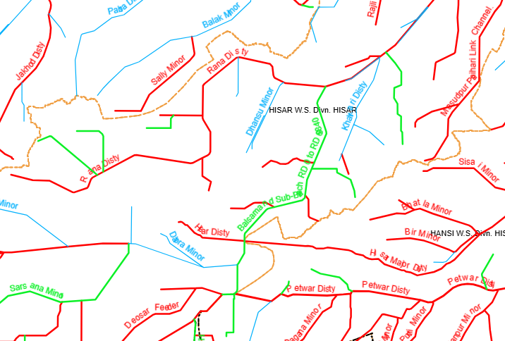
View current running channels on GIS according to channel rotational program of the Irrigation Canal Network in Haryana State.
Click here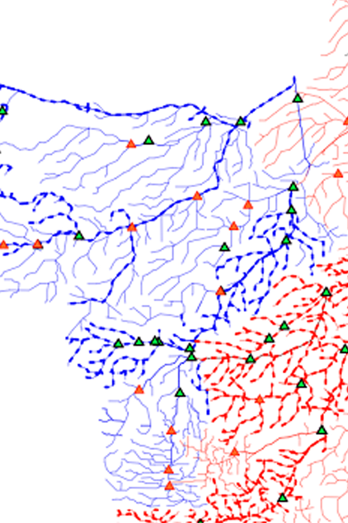
View Tails Fed Status data by applying filters like Circle wise, Division wise or Channel wise etc.
Click here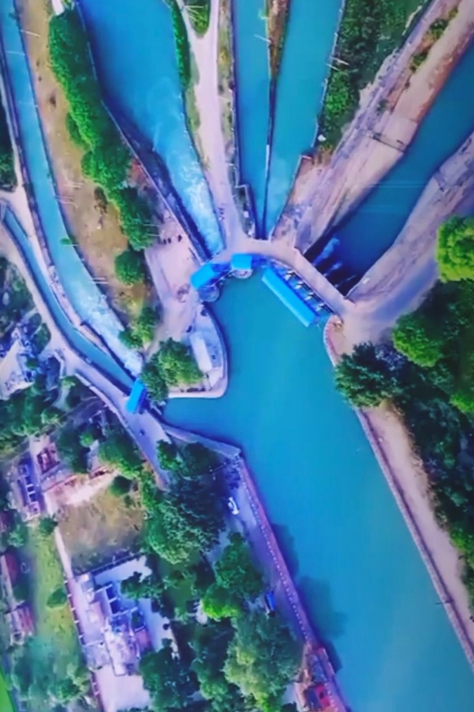
Use of GIS in Water Filling Status in WWTs and Canal Connected Ponds (as per last updation) in State of Haryana.
Click here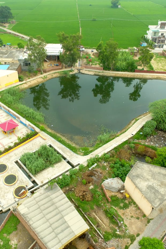
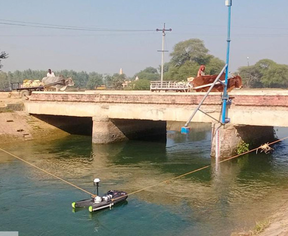
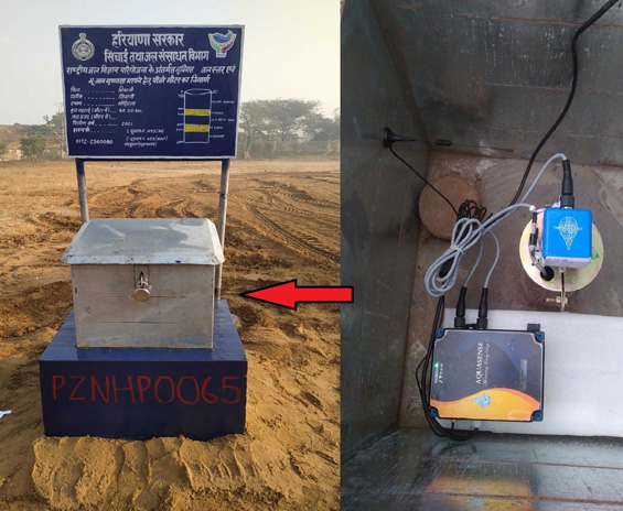
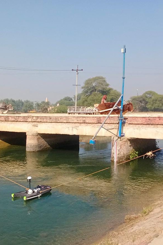
Construction of Piezometers and installation of DWLRs for real time monitoring of water level fluctuations.
Click here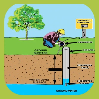
Community led Participatory Sustainable Ground Water Management. Making ground water invisible to visible.
Click here